

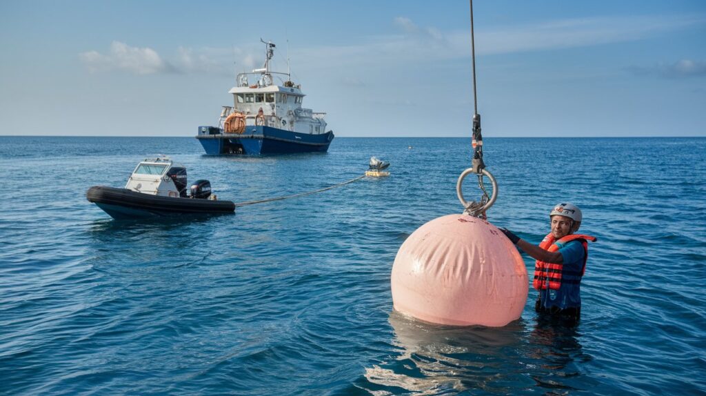
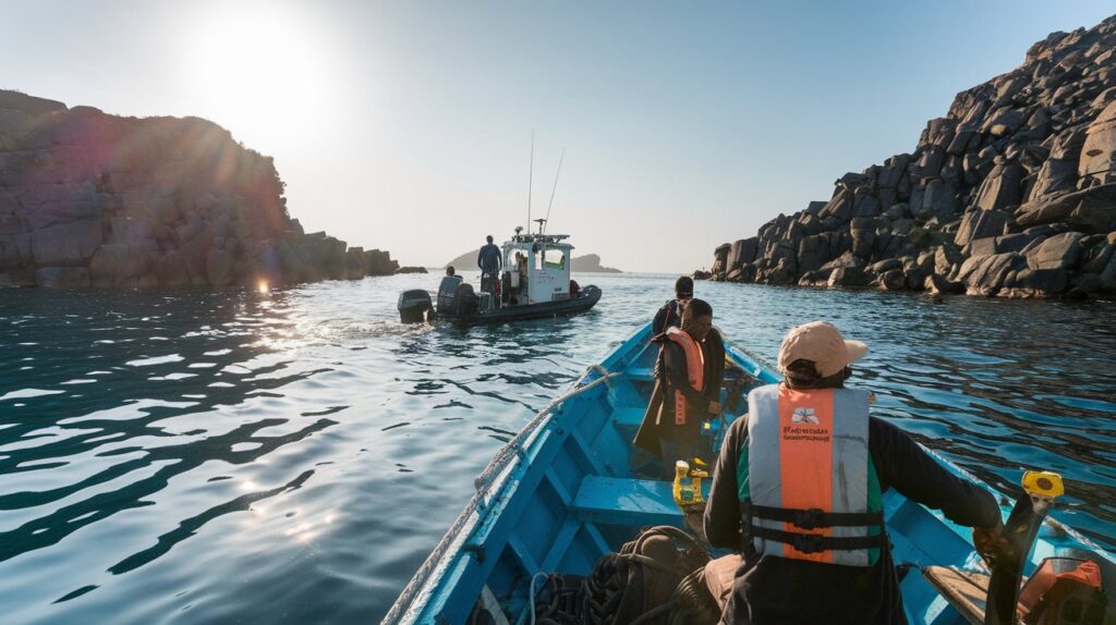
At ARMM Engineering & Consultants, we specialize in delivering accurate and detailed bathymetric surveys across Odisha and India. Our team provides crucial insights into underwater topography, helping clients in navigation, infrastructure planning, environmental monitoring, and coastal management. With state-of-the-art technology and expert professionals, we ensure that you have the precise data needed for safe, efficient, and successful water-related projects.
Why Bathymetric Surveys are Essential
A bathymetric survey maps the underwater landscape, measuring depths and identifying underwater features. This data is critical for projects involving waterways, ensuring safe construction, navigation, and effective environmental management. Bathymetric surveys play a key role in a range of projects, from port construction and dredging operations to flood control and habitat protection.
Key Elements of Our Bathymetric Surveys:
1.Water Depth Measurement
Accurate depth readings are fundamental for navigation, construction, and determining dredging requirements, enhancing both safety and efficiency.
2.Underwater Topography
Mapping features like rocks, shoals, and seabed contours helps in designing safe and durable structures, such as bridges, dams, and docks.
3.Current and Flow Analysis
Understanding currents and flow patterns supports flood management and ensures that structures are designed to withstand water movement.
4.Sediment and Substrate Mapping
Identifying sediment types and seafloor substrates is crucial for projects that require anchoring or foundations on riverbeds or coastal zones.
5.Flood and Erosion Risk Assessment
Bathymetric data aids in assessing erosion and flood risks, allowing for informed planning and the implementation of flood control measures.
Benefits of Bathymetric Surveys
- Enhanced Project Planning and Design: Reliable data on underwater terrain allows for optimized designs that consider water depth, flow, and environmental factors.
- Safe Navigation: Bathymetric surveys ensure waterways are safe for vessels, reducing risks and enhancing operational safety.
- Effective Flood Management: Analyzing water depths, currents, and sediment levels helps in designing flood defenses and improving emergency preparedness.
- Environmental Conservation: Monitoring underwater habitats and sediment levels aids in protecting aquatic ecosystems and biodiversity.
- Regulatory Compliance: Bathymetric data supports compliance with regulations governing waterway use, flood control, and coastal development.
Why Choose ARMM Engineering & Consultants?
ARMM Engineering & Consultants brings expertise and advanced technology to every bathymetric survey. Our team uses high-precision sonar equipment and proven techniques to gather accurate, reliable data on underwater landscapes. We are dedicated to supporting your project with actionable insights, helping you achieve both safety and success in any aquatic environment.
Whether you’re developing a port, planning a river crossing, or conducting a flood risk assessment, our bathymetric survey services provide detailed reports and insights for informed project execution across Odisha and India.